
Environmental and Energy Business Resources
...everything environmental and energy...
Connect to us:


Weather News from various Sources
Spaceweather.gc.ca - Geomagnetic Activity
http://www.spaceweather.gc.ca/
No storm watch
-No storm watch
Current: POL active, AUR active, SUB quiet
-Current conditions of the magnetic field
Polar (POL): Active
Auroral (AUR): Active
Sub-Auroral (SUB): Quiet
Forecast: POL active, AUR active, SUB quiet
-Geomagnetic forecast for the next 6 hours
No storm watch
Polar (POL): active + active intervals
Auroral (AUR): active + active intervals
Sub-Auroral (SUB): quiet
National Hurricane Center Graphical Tropical Weather Outlooks
https://www.nhc.noaa.gov/
NHC Atlantic Outlook
-


ZCZC MIATWOAT ALL
TTAA00 KNHC DDHHMM
Tropical Weather Outlook
NWS National Hurricane Center Miami FL
200 AM EDT Mon Jul 7 2025
For the North Atlantic...Caribbean Sea and the Gulf of America:
Active Systems:
The Weather Prediction Center is issuing advisories on Tropical
Depression Chantal, located inland near the North Carolina and
Virginia state line.
Tropical cyclone formation is not expected during the next 7 days.
$$
Forecaster Gibbs
NNNN
NHC Eastern North Pacific Outlook
-


ZCZC MIATWOEP ALL
TTAA00 KNHC DDHHMM
Tropical Weather Outlook
NWS National Hurricane Center Miami FL
1100 PM PDT Sun Jul 6 2025
For the eastern and central North Pacific east of 180 longitude:
1. Central East Pacific (EP96):
Disorganized showers and thunderstorms associated with an area of
low pressure located several hundred miles south-southwest of the
southern tip of the Baja California peninsula continue this morning.
Some additional development remains possible, and a short-lived
tropical depression could still form, but the system is quickly
running out of time as it moves westward into a more stable
environment, with drier mid-level air and progressively cooler
waters later today.
* Formation chance through 48 hours...low...30 percent.
* Formation chance through 7 days...low...30 percent.
2. South of Southwestern Mexico:
An area of low pressure could form several hundred miles offshore of
southwestern Mexico late this week. Some gradual development of this
system is possible thereafter while it moves generally
west-northwestward well off the coast of Mexico.
* Formation chance through 48 hours...low...near 0 percent.
* Formation chance through 7 days...low...20 percent.
Forecaster Gibbs
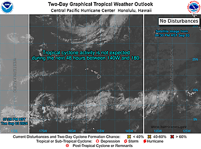
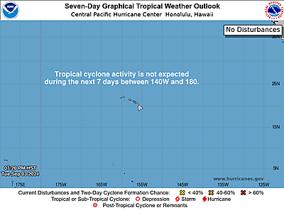
CPHC Central North Pacific Outlook
-
ZCZC HFOTWOCP ALL
TTAA00 PHFO DDHHMM
Tropical Weather Outlook
NWS Central Pacific Hurricane Center Honolulu HI
Issued by NWS National Hurricane Center Miami FL
800 PM HST Sun Jul 06 2025
For the central North Pacific...between 140W and 180W:
Tropical cyclone formation is not expected during the next 7 days.
Forecaster Gibbs
Ten sure ways to save on your home energy bill and help reduce global warming
All Information on our website are free for your use. You are required to reference our website each time you use our materials. Please link back to: Environmental and Energy Business Resources using website address: http://www.environbusiness.com.Get your own copy of the Ebook Clean Energy Fuels:

Support Us to Continue to provide you with more free contents: